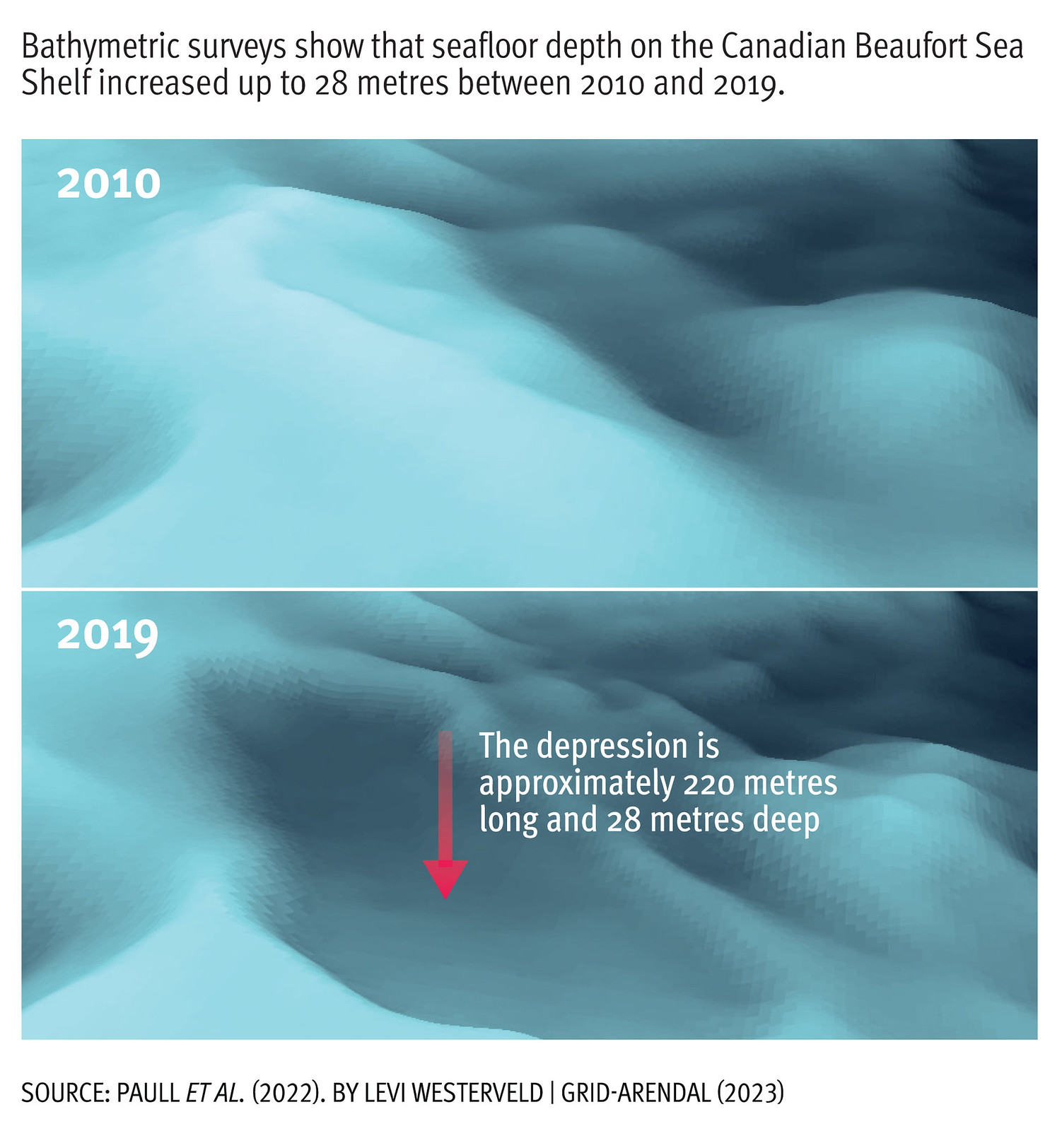


Maps and Graphics from the Arctic Permafrost Atlas
The Arctic Permafrost Atlas presents state-of-the-art knowledge about permafrost and the impacts of permafrost thaw on human settlements in the Arctic. It is a key outcome of the NUNATARYUK project and has been written and edited by GRID-Arendal together with all NUNATARYUK project partners, scientists and early-career scientists.
-
Produced by:Levi Westerveld/GRID-Arendal
-
Year:20/10/2023
Maps and Graphics from the Arctic Permafrost Atlas
Overview
What’s Inside
How to Use This Collection
Why It Matters:

Use Constraints
-
Region:
-
Activity:
-
Impact Area:
-
Competences:
-
Tags: