

Baltic GIS
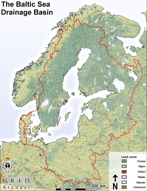
The Baltic Sea Region GIS, Maps and Statistical Database is a result of the Baltic Drainage Basin Project (BDBP), a multi-disciplinary research project under the EU 1991-1994 Environment Research Programme. It was developed as joint effort between the Beijer Institute, Stockholm, Department of Systems Ecology, Stockholm University and UNEP/GRID-Arendal.
-
Produced by:
-
Year:04/10/2005
Baltic GIS
Overview
What’s Inside
How to Use This Collection
Why It Matters:

Use Constraints
-
Region:
-
Activity:
-
Impact Area:
-
Competences:
-
Tags: