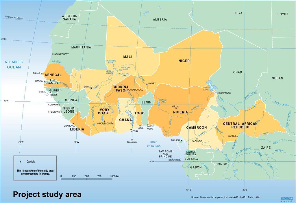


Mapping indicators of poverty in West Africa
A pilot study to examine the relationship between the location of rural poor population and land use potential in West Africa, based on ‘best available data’, using Geographic Information Systems technology.
-
Produced by:
-
Year:04/10/2005
Mapping indicators of poverty in West Africa
Overview
What’s Inside
How to Use This Collection
Why It Matters:

Use Constraints
-
Region:
-
Activity:
-
Impact Area:
-
Competences:
-
Tags: