
Connect: GRID-Arendal Annual Report 2017
GRID-Arendal Annual Report 2017

- Single Image File
Peat, permafrost, and fire
Map showing peatland distribution on permafrost and recorded vegetation fires in 2020.

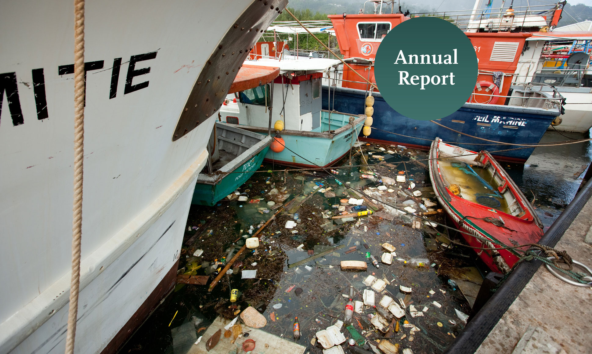
Stop Talking Trash about Marine Litter
Debunking the Myths about Plastic Debris in our Ocean

- Single Image File
McMurdo Dry Valleys
Modelled mean annual ground temperature in the McMurdo Dry Valleys, Antarctica.
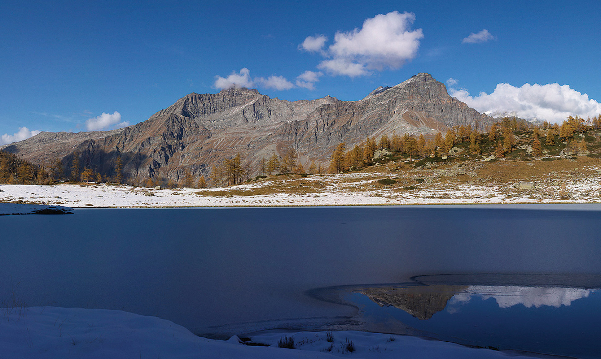
ECOPOTENTIAL: Improving Future Ecosystem Benefits through Earth Observations
Analysis of Ecosystem Services and Earth Observation Capacity and Needs by ECOPOTENTIAL Protected Areas

- Single Image File
Queen Maud Land
Modelled mean anual ground temperature in Queen Maud Land, Antarctica.
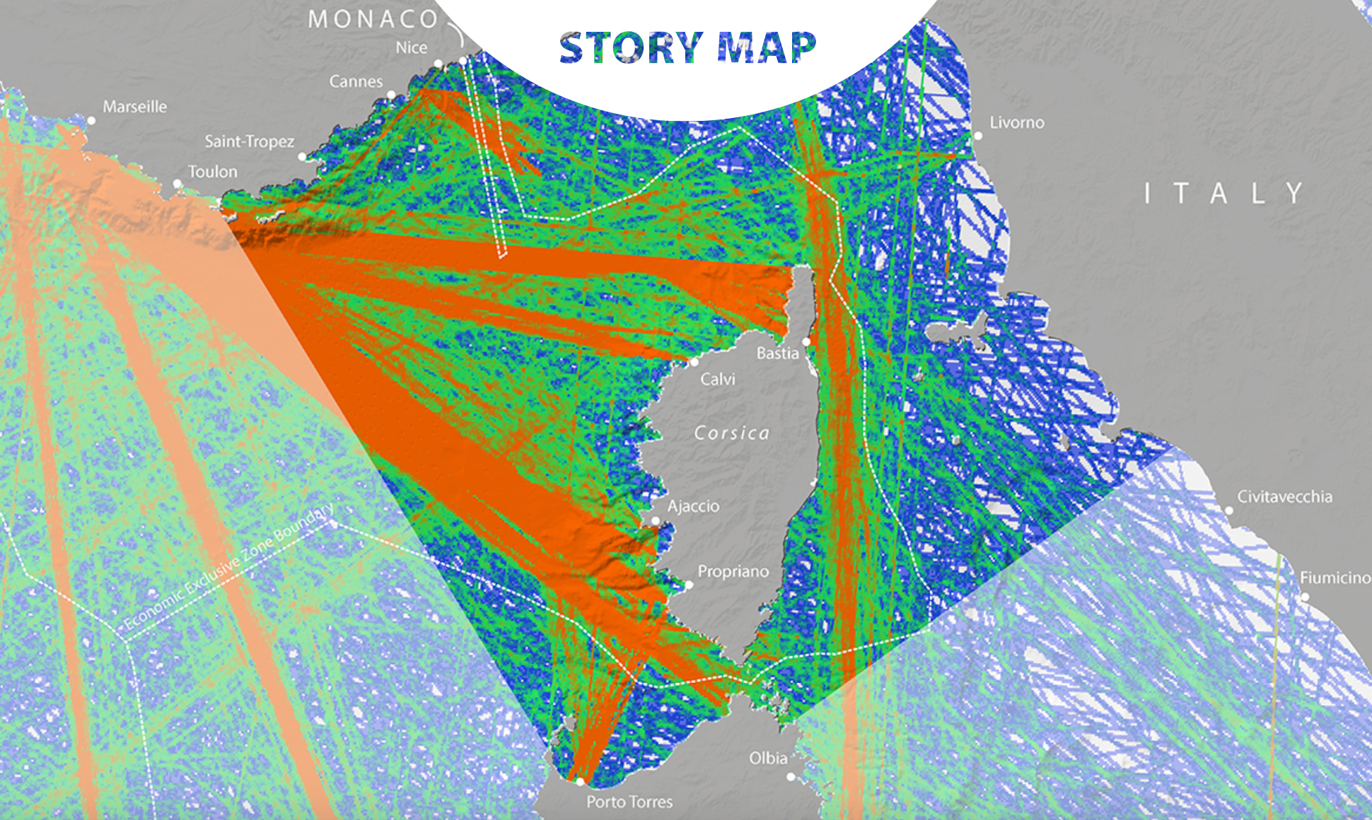
Protecting Marine Mammals in Crowded Waters
A story map about how satellite technology is being used to help conserve marine mammals in the Mediterranean.
- Single Image File
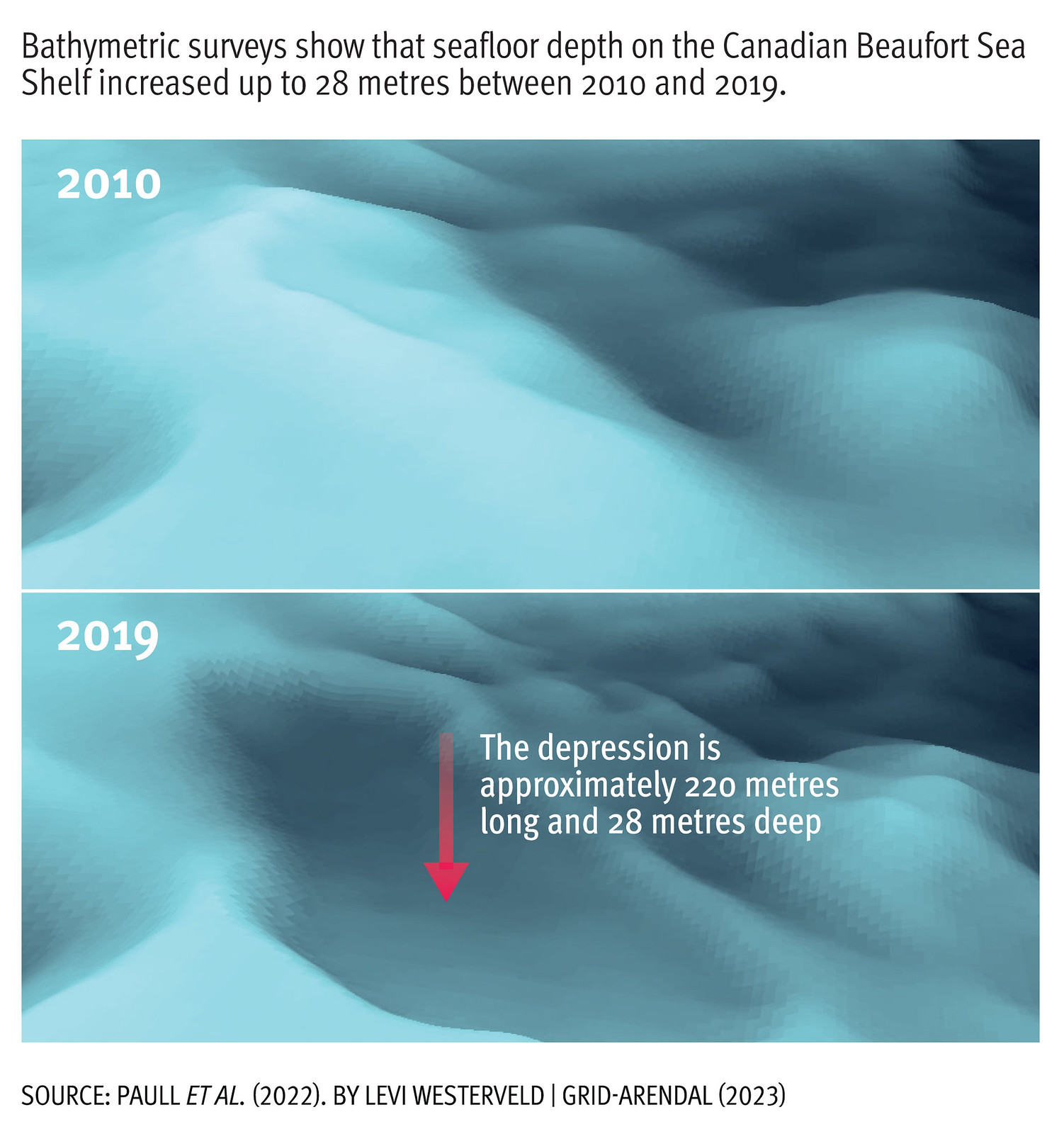
Canadian Beufort Sea Shelf
Bathimetric survey show increased depth of the Canadian Beufort Sea Shelf between 2010 and 2019.
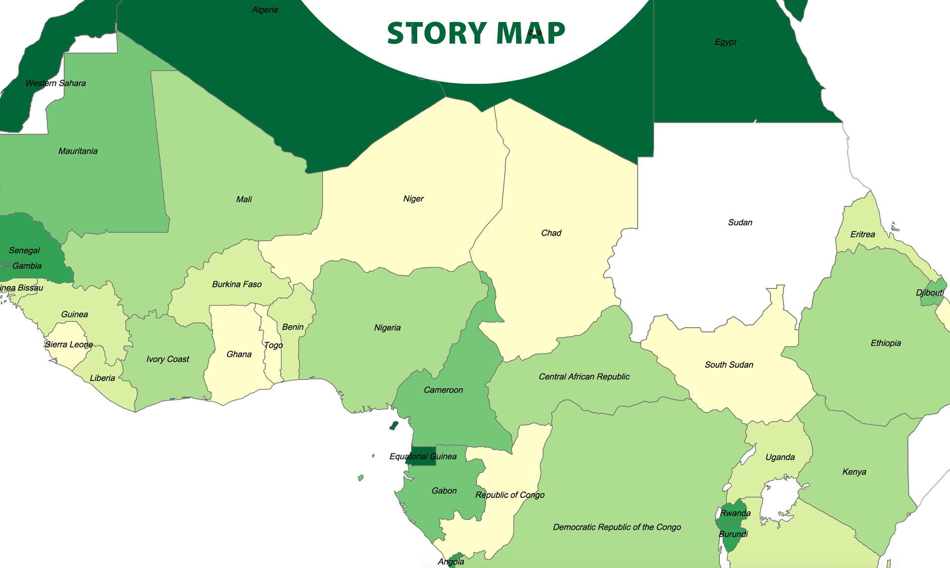
Sanitation and Wastewater in Africa
The relationship between sanitation and wastewater management is crucial in terms of Africa’s social, economic and ecological concerns.

- Single Image File
Antarctic Peninsula
Modelled mean annual ground temperature on the Antarctica Peninsula.
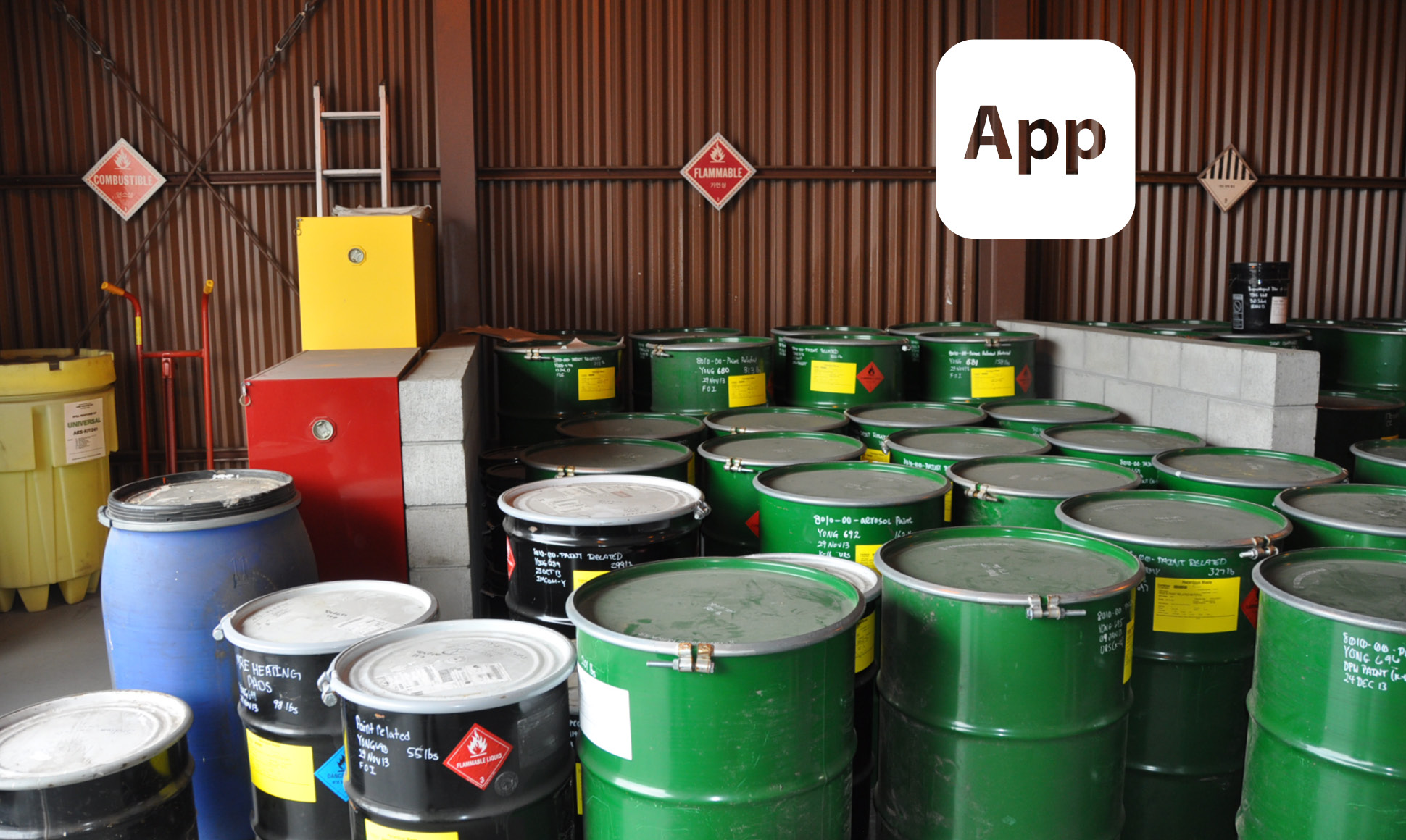
Watch-IT: Inspection Tool App
Waste and Chemicals Inspection Tool (Watch-IT)

- Single Image File
Changes in subsea permafrost
Modelled subsea permafrost thickness.