

Mapping, Classifying, and Protecting Seamounts
What are seamounts? How are they mapped? How are they classified? How can we use these spatial data to protect marine environments?...

- Single Image File
Arctic Permafrost watersheds
Map showing approximate change of ground temperatures from 1990 to 2019 for Arctic watersheds containing permafrost.

The Okavango River Basin
This Story Map explores the ecosystem services of the Cubango-Okavango River Basin and the threats they face. A combination of interactive..

- Single Image File
Arctic coastal erosion rates
Modelled Arctic coastal erosion rates at different greenhousegas emission scenarios.
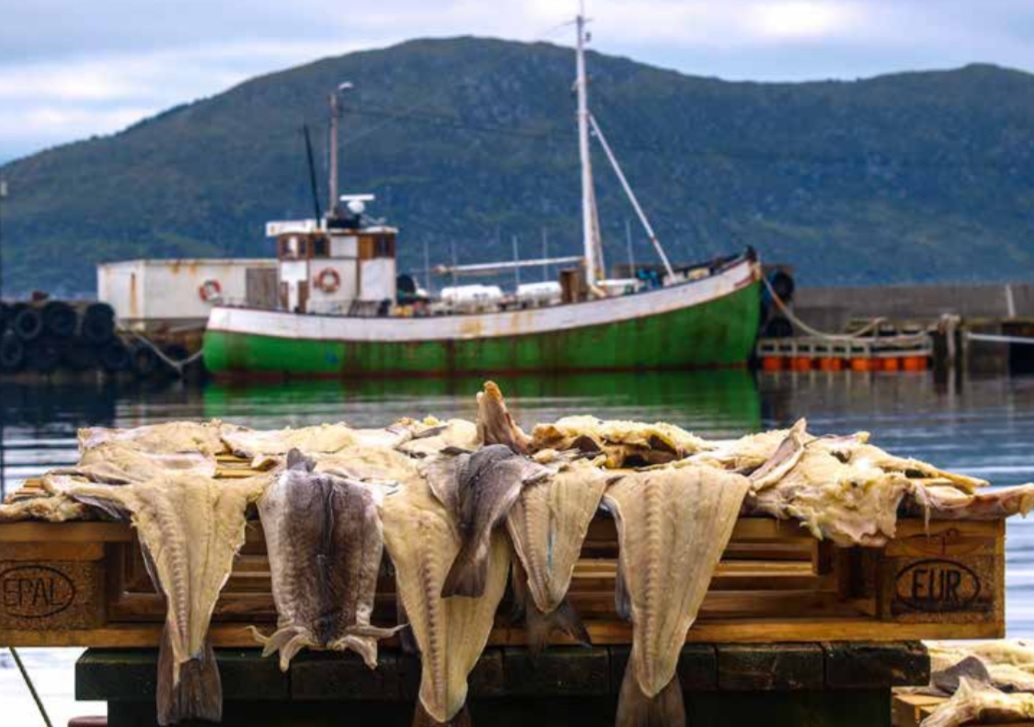
The Economics of Ecosystems and Biodiversity (TEEB) for the Arctic: A Scoping Study
This report presents the results of the scoping study on ecosystem services and the application of a TEEB approach and methodology in the Arctic.…

- Single Image File
Arctic coastal classification
Coastal ground ice content accross the circumpolar Arctic.
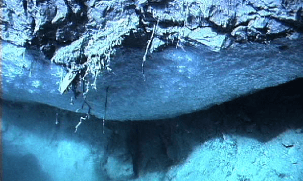
Frozen Heat: A Global Outlook on Methane Gas Hydrates
This report reviews hydrate occurrences that some countries intend to exploit to produce natural gas as a potential for energy security. For instance, Japan…

- Single Image File
Retrogressive thaw slump I
Retrogressive thaw slump processes.

Ecosystem Services or Services to Ecosystems? Valuing Cultivation and Reciprocal Relationships between Humans and Ecosystems
The concept of Ecosystem Services (ES), widely understood as the “benefits that humans receive from the natural functioning of healthy ecosystems” (Jeffers et al.,…

- Single Image File
Retrogressive thaw slump II
3D image of a retrogressive thaw slump.

Blue Carbon Story Map
If the world is to decisively deal with climate change, every source of emissions and every option for reducing these should be...

- Single Image File
Coastal erosion at Drew Point, Alaska
Image showing coastal erosion and coastline retreat at Drew Point, Alaska.