
Publications
Our publications include more than traditional reports. They span formats such as StoryMaps, apps, photo essays and multimedia. Each one is designed to communicate complex environmental challenges in ways that are visual, engaging, and grounded in real-world impact.
-
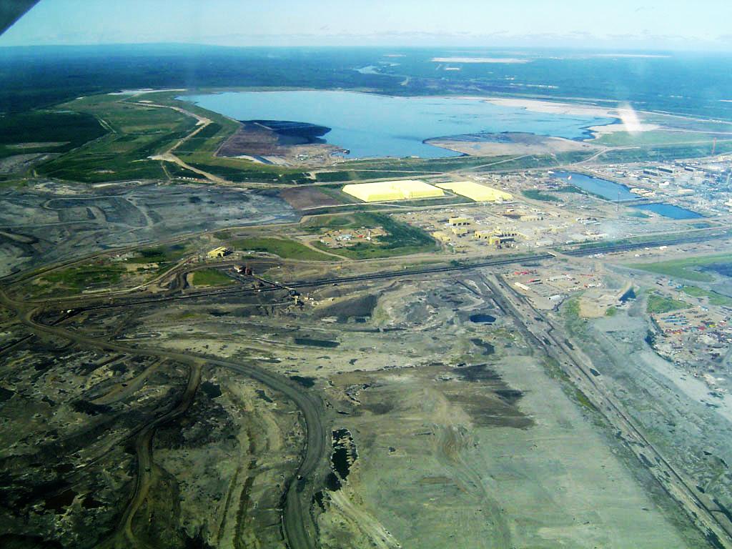
(Working Title) Tailings dam and Mining Waste RRA
A tailings dam is typically an earth-fill embankment dam used to store byproducts of mining operations after separating the ore from the…
-
(Working Title) Oceanic Blue Carbon Storymap
This Story Map describes and illustrates the science related to the ‘oceanic blue carbon’ concept – how the conservation and restoration…
-
(Working Title) SoE Report for the Caspian region
2nd SoE Report for the Caspian region has to be developed with active participation from Caspian countries…
-
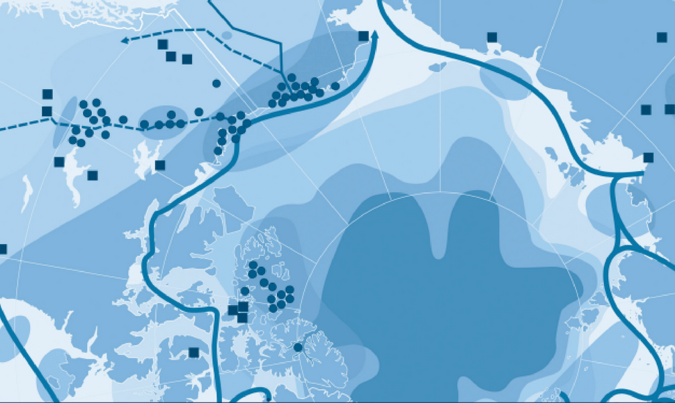
Multilateral Environmental Agreements and their relevance to the Arctic
Rapid environmental changes are taking place in the Arctic, threatening the livelihoods of northern peoples, arctic flora and fauna
-
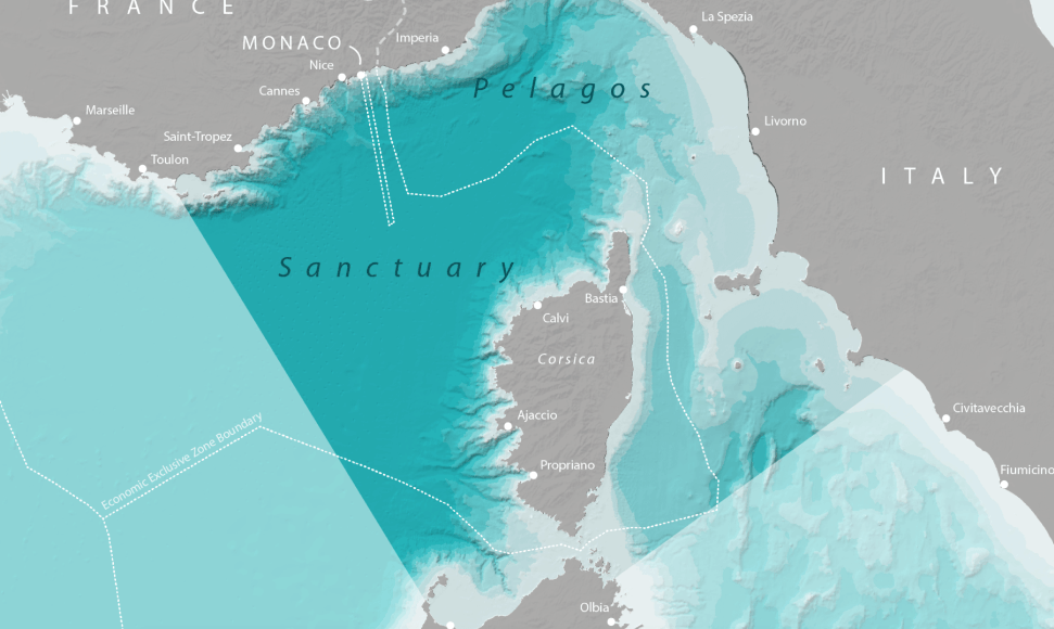
(WORKING TITLE) Mapping Whales and Human Activity in the Mediterranean
The ECOPOTENTIAL project (www.ecopotential-project.eu) is working to advance the use of remote sensing and related modelling approaches…
-
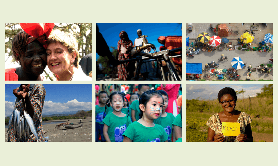
The Global Gender and Environment Outlook (GGEO)
The Global Gender and Environment Outlook (GGEO) is a collaborative project between UN Environment and Strategic Partners (including GRID…
-
-
Programme Cooperation Agreement 2014: Final Report for the Period 01 January 2014 to 01 March 2015
Final report for the period January 2014 to March 2015
-

Elevating Mountains in the Post-2020 Global Biodiversity Framework
Mountains are home to all of the world’s principal biome types and support a wide variety of ecosystems. Many of these ecosystems have…
-
Baltic Environmental Atlas
This interactive map service presents environmental factors that primarily have an impact upon the loads of nutrients entering into the …
-

GRID-Arendal Publication App
Browse, Download and Read offline the complete collection of GRID-Arendal ePublications and ePublications from our partners.
-
-
Needs and Approaches to Improve Access to Environmental Information for Transboundary Decision-Making in the Baltic Sea Region
From an international environment and sustainable development perspective, the Baltic Sea Region is one of the more exciting transboundary regions of the world today. In fact, this region has since the 1970’s been followed closely by the international community, and in many respects been considered a model region for its innovative solutions to its environmental…
-
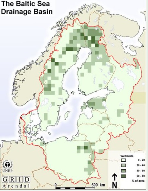
Quantifying the Nitrogen Retention Capacity of Natural Wetlands in the Large-Scale Drainage Basin of the Baltic Sea
We estimate the nitrogen retention capacity of natural wetlands in the 1.7 million km2 Baltic Sea drainage basin, using a wetland GIS data base. There are approximately 138,000 km2 of wetlands (bogs and fens) in the Baltic Sea drainage basin, corresponding to 8% of the area. The input of nitrogen to natural wetlands from atmospheric…
-
Streamlining and Harmonisation of Biodiversity Information and Reporting in the NIS
Increasing concern has been expressed over the burden being placed on national governments to provide information for international programmes. Biodiversity reporting follows a similar trend. There are a growing number of international and regional organisations in need of structured, aggregated and easily accessible biodiversity information from the national level. In addition, a number of international…
-
To Characterise and Measure Completeness of Spatial Data: A Discussion Based on the Digital Chart of the World (DCW)
There is an increasing degree of sophistication associated with describing the qualities of spatial data. Completeness is one data quality component that is included in both the US Spatial Data Transfer Standard (SDTS) and the European standard under development within the framework of the European Committee for Standardisation (CEN). While both standards use the same…
-
Accuracy Assessments of Geographical Line Data Sets: The Case of the Digital Chart of the World
To be able to utilise geographical data for analysis, one should know something about the quality of the data. In present geographical data standardisation proposals (SDTS, CEN TC287), several aspects of geographical data quality have been described, such as lineage (data collection and processing history), spatial accuracy, attribute accuracy, completeness, logical consistency and currency. Methods…
-

Land Use and Population Density in the Baltic Sea Drainage Basin: A GIS Database
We present a Geographic Information System (GIS) database of the large-scale drainage basin of the Baltic Sea. A set of GIS map layers were created and used to generate information on the current landscape characteristics and population distribution patterns in the drainage basin. Such data can be generated at the 92 mesoscale subdrainage basins, at…
-
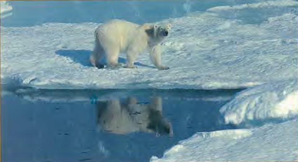
Proposed Protected Areas in the Circumpolar Arctic 1996
This report provides an overview of proposals made by CAFF countries for new and/or enlarged protected areas in the Arctic. Some proposals from non-governmental organisations (NGOs) are also mentioned. The report also focuses on the roles of coastal and marine protected areas and transboundary co-operation. Together with the report on the State of Protected Areas…
-

The State of the European Arctic Environment
This report provides a general assessment of the pressures, state and trends of the European Arctic environment. This remote, harsh and vulnerable environment consists of large productive marine areas containing some of the World’s largest fish stocks, ranging from lcelandic waters in the west to the Kara Sea north of the Russian Federation in the…
-

Environmental Information Systems in Georgia
Agenda 21, Chapter 40, on information for decision-making, outlines two program areas for Bridging the data gap and Improving information availability to ensure sustainable development. According to this guiding document, “relevant international organizations should develop practical recommendations for coordinated, harmonized collection and assessment of data on the national and international levels”. The aim of this…
-
A Survey of Digital Chart of the World (DCW) Use and Data Quality
The Digital Chart of the World (DCW) is one of most comprehensive global GIS databases available to the public. There exists a wide variety of potential applications for using the DCW data, yet there is limited information about current use of DCW and its associated data quality. This brief report presents the results of a…
-

Environmental Information Systems in the Russian Federation
The report is based on research carried out from September to November 1994, when the first draft was compiled. The text was then further revised and updated in 1995. The scope of the research included interviews with local experts in the fields of generation, use, and/or dissemination of environmental data, as well as the examination…
-
Wilderness Quality Mapping in the Euro-Arctic Barents Region: A Potential Management Tool
Wilderness Quality is in this project defined as the extent to which the nature is changed or disturbed due to influence from modern society. This project has attempted to assess wilderness quality in the Barents Region by applying methodology developed by the Australian Heritage Commission. Wilderness Quality is assessed in terms of remoteness and naturalness….
-
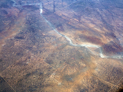
Diurnal Cycles in Savanna Fires
Τhe field work was designed to provide fire frequencies in the Gambia at the four daily satellite overpasses of two orbiting NOAA (National Oceanic and Atmospheric Administration) satellites. The AVHRR (Advanced Very High Resolution Radiometers) of each of the two satellites scan over each surface area twice a day, once during the day and once…
-

Feasibility Study for the Establishment of a UNEP/GRID-Compatible Environmental Information Network in Hungary
In 1994, UNEP initiated a program to support environment assessment, reporting and data management capacities in countries with economies in transition in Central and Eastern Europe. This includes identification of needs and the formulation of project proposals to meet these needs. With partner agencies and other donors, UNEP seeks to leverage finances to correct any…
-
Arendal II Workshop Report: UNEP and CGIAR Cooperation on Data, Capacity Building and Networking Needs for the Use of Geographical Information Systems in Agricultural Research
The theme of the meeting was well established by Dr. Stein Bie in his keynote address entitled Data Needs for the Food Insecure. Workshop sessions addressed the following five primary areas, the first three of which emphasized information exchange, whereas the fourth and fifth moved towards project requirements and outputs. 1. The current activities and…