
Publications
Our publications include more than traditional reports. They span formats such as StoryMaps, apps, photo essays and multimedia. Each one is designed to communicate complex environmental challenges in ways that are visual, engaging, and grounded in real-world impact.
-
Completeness of the Digital Chart of the World (DCW) Database
This report deals with the completeness quality aspect of the DCW. First, the meaning of this data quality characteristic is discussed from the perspectives of the US Spatial Data Transfer Standard (SDTS) and the European spatial data standard, the former under implementation and the latter currently under development. The major part of the report summarizes…
-
Tourism and Climate Change: Two-Way Street, or Vicious/Virtuous Circle?
This paper presents the approach and reasoning behind two central conceptual diagrams relating tourism and climate change. The first diagram describes a typical polarisation in tourism and climate change knowledge management. It is argued that this polarisation restricts the collective body of knowledge and obscures important causal links between tourism and climate change phenomena. Developments…
-
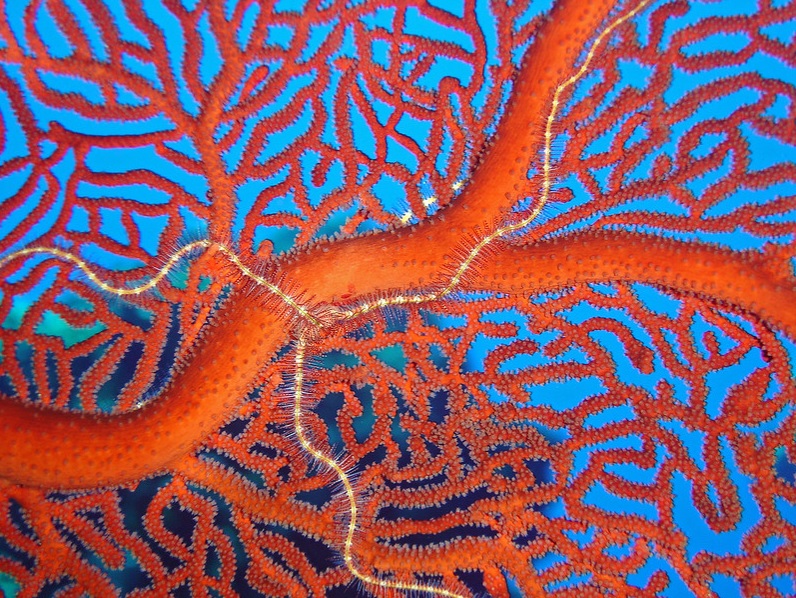
Predictive Habitat Model for Deep Gorgonians Needs Better Resolution: Reply to Etnoyer & Morgan (2007)
Etnoyer & Morgan (2007, this volume) state that our recent study (Bryan & Metaxas 2007) is ‘causing concern among scientists and conservationists in the USA’. This was certainly not our intent. In fact, in the last paragraph of our study we acknowledge that ‘the need to protect deep-water coral from human influences has become more…
-
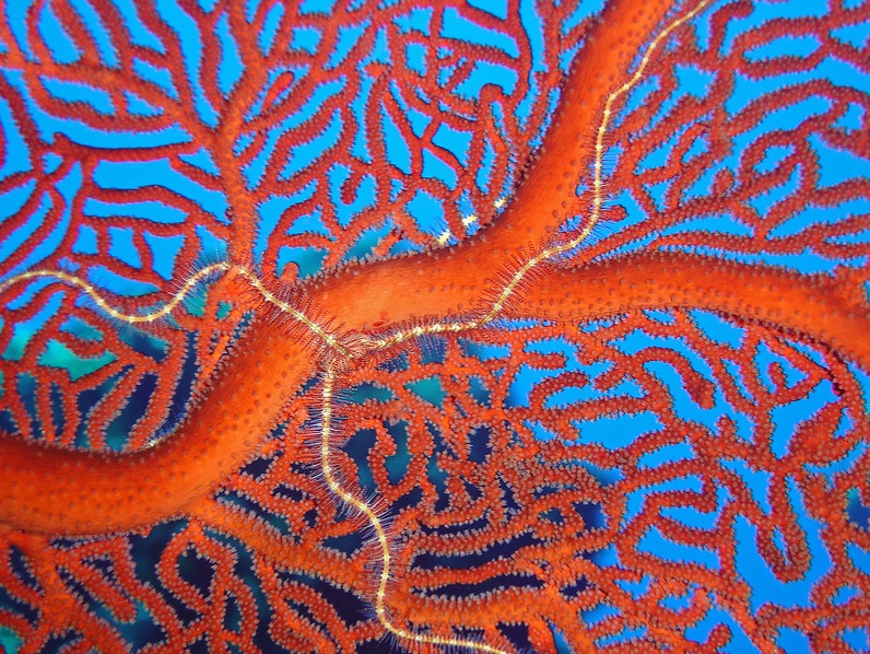
Predicting Suitable Habitat for Deep-Water Corals in the Pacific and Atlantic Continental Margins of North America
Mapping marine habitats and species distributions is essential in conservation and resource management. The generation of such maps, however, is particularly challenging for the poorly sampled deep-sea species. In this study, we explored the spatial suitability of deep-water coral (Families Paragorgiidae and Primnoidae) habitat on both the Pacific and Atlantic Continental Margins of North America…
-
Integrated Environmental Assessment: Training Manual for the Arab Region
There are many techniques and products to communicate the results of an integrated environmental assessment (IEA) following the UNEP Global Environment Outlook (GEO) approach. This module guides you through the communications processes, showing you how to get your message to the audiences you want to reach. Before you start producing your main report and other…
-
Managing Nutrient Fluxes and Pollution in the Baltic: An Interdisciplinary Simulation Study
This interdisciplinary paper reports the results of a study into the costs and benefits of eutrophication reduction in the Baltic Sea. A large multidisciplinary team of natural and social scientists estimated nutrient loadings and pathways within the entire Baltic drainage basin, together with the costs of a range of abatement options and strategies. The abatement…
-
Overview on Land-Based Sources and Activities Affecting the Marine Environment in the ROPME Sea Area
The ROPME sea area includes the coastal and marine waters of the eight countries (Bahrain, Iraq, Islamic Republic of Iran, Kuwait, Oman, Qatar, Saudi Arabia and the United Arab Emirates) that make up ROPME. This region is arid, with large seasonal fluctuations of air and water temperatures and thus the greatest extremes among tropical marine…
-

GLOBIO: Global Methodology for Mapping Human Impacts on the Biosphere
GLOBIO was initiated to provide an inexpensive, simple scientifically based communication tool for mapping, at large scale, the likelihood of human impacts on the biosphere resulting from increasing growth in resource utilization. GLOBIO is intended to bring scientific evidence on human impacts into a format suitable for policy-making. Conventional assessments of environmental impacts have usually…
-

The Great Apes – The Road Ahead: A GLOBIO Perspective on the Impacts of Infrastructural Development on the Great Apes
This report assesses the impact of infrastructural development on great ape populations, using the GLOBIO modelling approach. GLOBIO is a multivariate spatial model, which estimates the extent of land area with reduced abundance and diversity of living organisms, as a result of infrastructural development. The model can also be used to develop scenarios of possible…
-
IEA Training Manual: A Training Manual on Integrated Environmental Assessment and Reporting
There are many techniques and products to communicate the results of an integrated environmental assessment (IEA) following the UNEP Global Environment Outlook (GEO) approach. This module guides you through the communications process, showing you how to get your message to the audiences you want to reach. Before you start producing your main report and other…
-
State of the Environment Reporting: Institutional and Legal Arrangements in Europe
This report presents the findings of a study of the institutional and legal arrangements in place across European countries, (EU Member States and PHARE countries) for the purposes of reporting on the State of the Environment. The objective of this study is to provide an overview of national legal and institutional arrangements and experiences for…
-
A Checklist for State of the Environment Reporting
The aim of the European Environment Agency to arrive at the required harmonisation of state of the environment reporting is not to issue strict guidelines, but to work together with the member countries to develop common frameworks. An important instrument in this process is a group of national experts in SOE reporting established by the…
-
Reporting and Transmission of Information under the Basel Convention for the Year 1997
The growing commitment of the Parties to report on Articles 13 and 16 of the Convention is evident from the increased number of responses the Secretariat of the Basel Convention (SBC) received for its 1997 questionnaire on Transmission of Information. As at 23 September 1999, sixty-three parties responded to the questionnaire: Antigua and Barbuda, Argentina,…
-
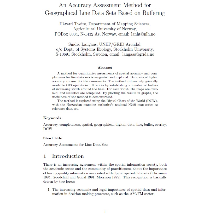
An Accuracy Assessment Method for Geographical Line Data Sets Based on Buffering
A method for quantitative assessments of spatial accuracy and completeness for line data sets is suggested and explored. Data sets of high er accuracy are used for the assessments. The method utilizes only generally available GIS operations. It works by establishing a number of buffers of increasing width around the lines. For each width, the…
-

AMAP Assessment Report: Arctic Pollution Issues
In June 1997, AMAP delivered its assessment to Ministers at the Fourth AEPS Ministerial Conference in Alta, Norway, in the form of a report entitled ‘Arctic Pollution Issues: A State of the Arctic Environment Report’. That report was a more concise and comprehensive presentation of the full scientific and technical assessment documented in this volume….
-
Reexposure and Advection of 14C-Depleted Organic Carbon from Old Deposits at the Upper Continental Slope
Outcrops of old strata at the shelf edge resulting from erosive gravity-driven flows have been globally described on continental margins. The reexposure of old strata allows for the reintroduction of aged organic carbon (OC), sequestered in marine sediments for thousands of years, into the modern carbon cycle. This pool of reworked material represents an additional…
-
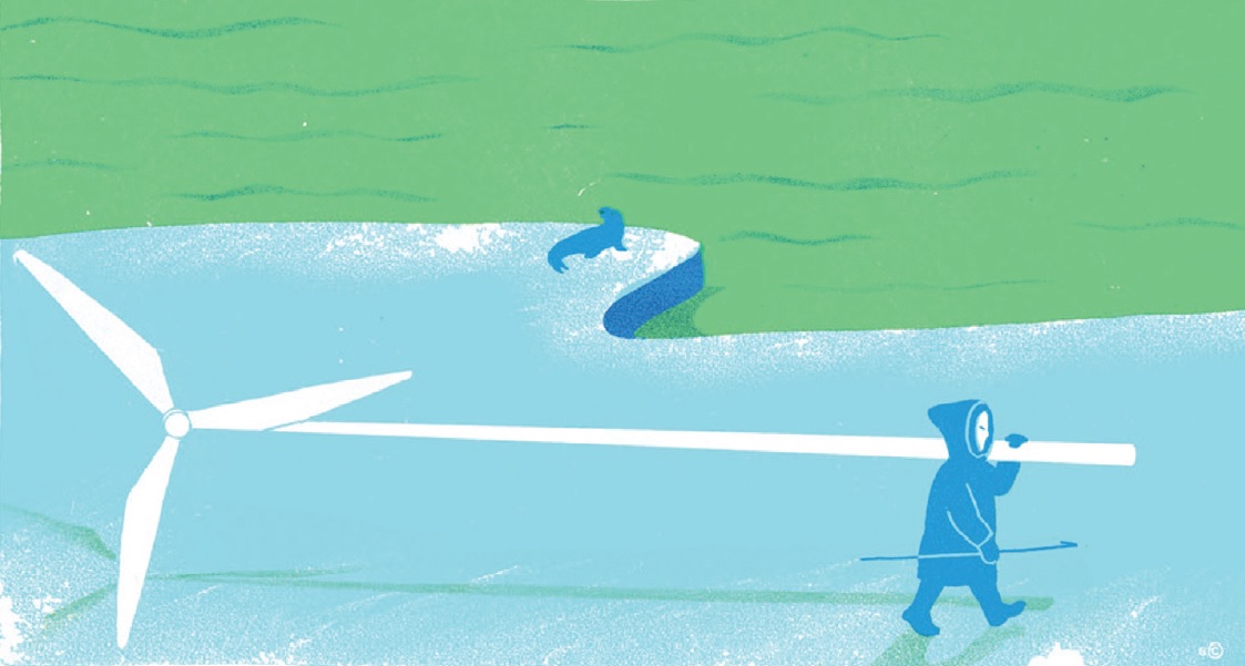
A Green Arctic
This vision presents a challenge. Local communities want economic growth, but the easiest ways of achieving that goal are not necessarily sustainable. The north needs a route for development that isn’t based solely on resource extraction. Academic collaborations can help to achieve this, by promoting knowledge-based development, and by answering the research questions needed to…
-

Ecosystem-Based Adaptation to Climate Change in Caribbean Small Island Developing States: Integrating Local and External Knowledge
Caribbean Small Island Developing States (SIDS) are vulnerable to climate change impacts including sea level rise, invasive species, ocean acidification, changes in rainfall patterns, increased temperatures, and changing hazard regimes including hurricanes, floods and drought. Given high dependencies in Caribbean SIDS on natural resources for livelihoods, a focus on ecosystems and their interaction with people…
-
An Observational Study of Oceanic Eddy Generation Mechanisms by Tall Deep‐Water Islands (Gran Canaria)
Oceanic eddy generation by tall deep-water islands is common phenomenon. It is recognized that these eddies may have a significant impact on the marine system and related biogeochemical fluxes. Hence, it is important to establish favourable conditions for their generation. With this objective, we present an observational study on eddy generation mechanisms by tall deep-water…
-
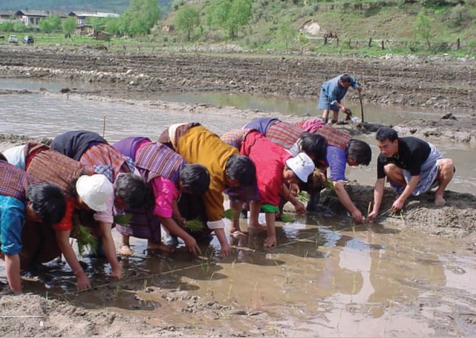
The Environmental Food Crisis in Asia: A ‘Blue Revolution’ in Water Efficiency is Needed to Adapt to Asia’s Looming Water Crisis
The water towers of the Hindu Kush-Himalayas, the Pamir, Tian Shan, and Kunlun Shan mountain ranges, constitute the primary water resources for a large part of Asia’s population and food production. The majority of the water, some 75 to 90%, is used in food production. However, while many people and farmers are already challenged by…
-
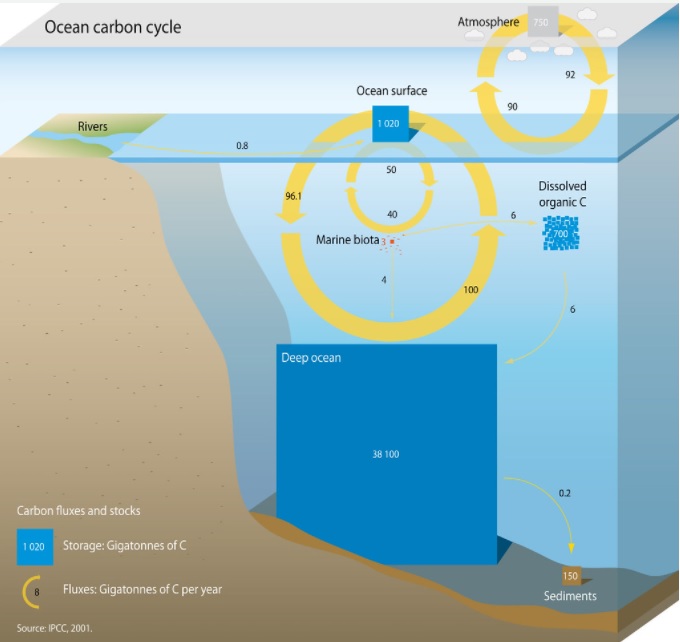
Role of Slowly Settling Particles in the Ocean Carbon Cycle
Here we present results from sediment traps that separate particles as a function of their settling velocity, which were moored in the Canary Current region over a 1.5-year period. This study represents the longest time series using “in situ” particle settling velocity traps to date and are unique in providing year-round estimates. We find that,…
-
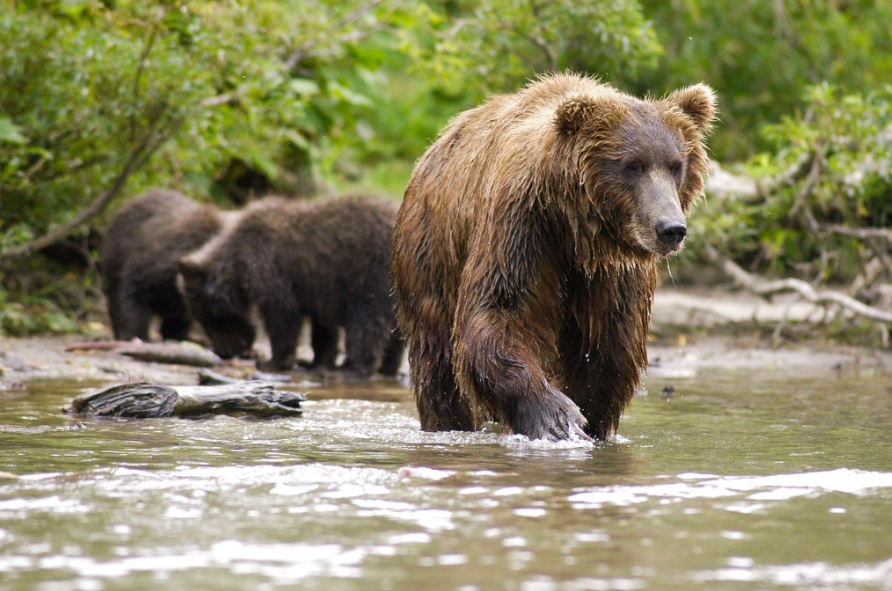
Behavioural Response of Moose Alces Alces and Brown Bears Ursus Arctos to Direct Helicopter Approach by Researchers
Helicopters are used for numerous wildlife management and research purposes, but can alter wildlife behaviour and influence baseline data collection. We investigated reactions of GPS-collared moose Alces alces and brown bears Ursus arctos to short-term helicopter approaches by researchers. Moose responded with up to 10 times greater movement rates for up to two hours following…
-
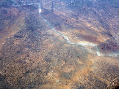
Temporal and Spatial Distribution of Savanna Fires in Senegal and the Gambia, West Africa, 1989-90, Derived from Multi-Temporal AVHRR Night Images
Quantitative data on fire regimes from the world’s savannas have previously been difficult to obtain due to logistical and scientific reasons. This study addresses the issue for Senegal and The Gambia, West Africa. A bispectral satellite image based method for fire detection has recently been improved and made semi-automatic to provide information on fire regimes…
-
Cover Senegalese Fire Activity during the 1989-90 Dry Season Deduced from NOAA AVHRR Night Time Images
The savannas and woodlands of Sub-Saharan Africa are annually swept by uncontrolled wildfires and controlled burning. Senegal, at the extreme western part of the African continent, is not an exception from this situation. By its position, which ranges from the Sahelian zone in the north to the Guinean zone in south, the supply of fuel…
-
A Parametrised Bispectral Model for Savanna Fire Detection Using AVHRR Night Images
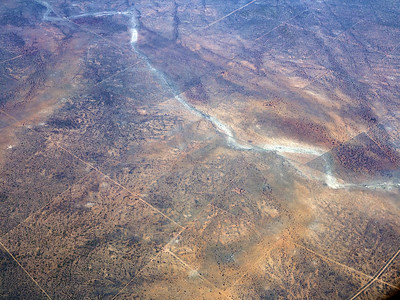
Ten years ago Dozier presented a bispectral model for the detection of sub-resolution high temperature features in NOAA AVHRR satellite images. This model builds on Planck’s law and theoretically derives brightness temperatures and fractions of sub-resolution fields of high temperatures, such as wildfires, using AVHRR channel 3 and 4 thermal data. The original Dozier model…
-
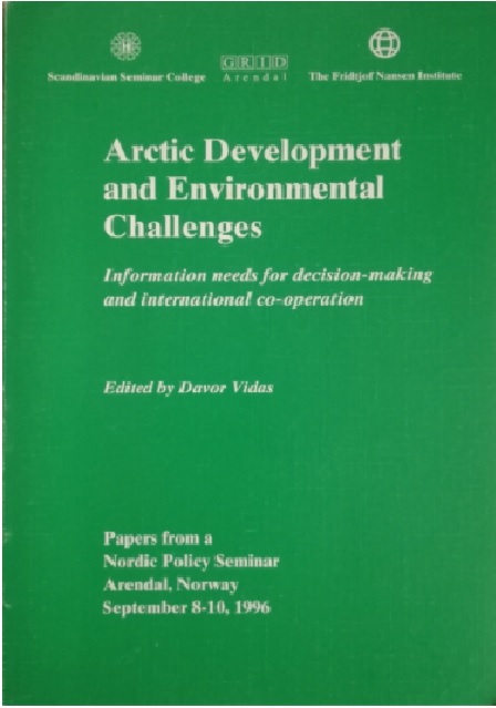
Arctic Development and Environmental Challenges: Information Needs for Decision-Making and International Co-operation [Papers from a Nordic Policy Seminar, Arendal, Norway, September 8-10, 1996]
The pdf file is available by purchase in the link: https://www.amazon.com/Arctic-Development-Environmental-Challenges-Decision-Making/dp/8787711141
-
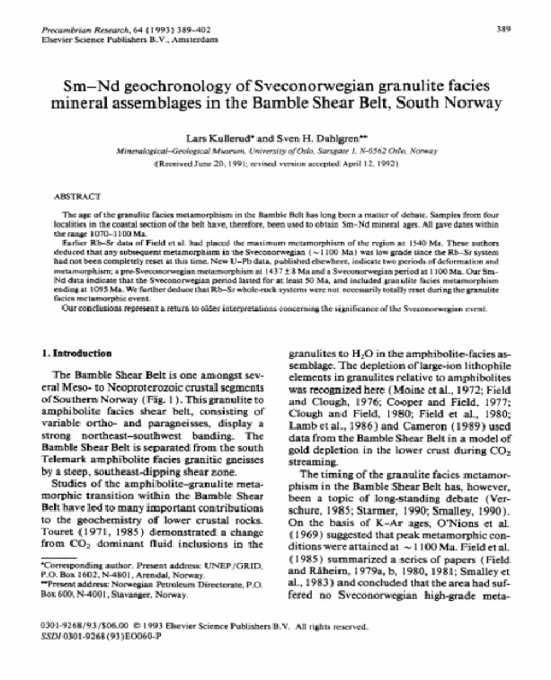
Sm-Nd Geochronology of Sveconorwegian Granulite Faciesmineral Assemblages in the Bamble Shear Belt, South Norway
The age of the granulite facies metamorphism in the Bamble Belt has long been a matter of debate. Samples from fourlocalities in the coastal section of the belt have, therefore, been used to obtain Sm-Nd mineral ages. All gave dates within the range 1070-1100 Ma.Earlier Rb-Sr data of Field et al. had placed the maximum…
-
Environment Assessment Technical Reports
The pdf file is available by purchase in the link: https://www.worldcat.org/title/environment-assessment-technical-reports/oclc/476347864&referer=brief_results
-
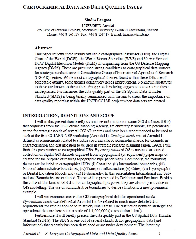
Cartographical Data and Data Quality Issues
This paper reviews three readily available cartographical databases (DBs), the Digital Chart of the World (DCW), the World Vector Shoreline (WVS) and 30 Arc-Second DCW Digital Elevation Models (DEM) all originating from the US Defense Mapping Agency (DMA). These are presumed strong candidates as cartographical data sources for strategic needs at several Consultative Group of…
-
Transboundary European GIS Databases: Review of the Baltic Region Experiences
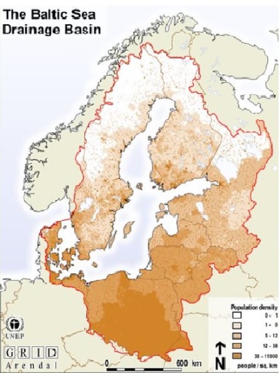
The number of seamless GIS databases for European transborder regions is growing at a rapid pace (CEC, 1996; Masser and Salgé, 1996). These developments have, until recently, taken place despite a generally unfavourable European ‘climate’ with respect to the institutional, legal, commercial and technical problems in assembling GIS data from several countries. The new trends…